All roads may lead to Rome but only two roads lead into Leh from the rest of India.
National Highway (NH) 21 connects Leh with Manali in Himachal Pradesh. This route takes the traveller through the passes of Rohtang, Baralacha-la and Tanglang-la ('la' = pass). The distance of 480 kms takes anywhere between 12 to 18 hours to cover, depending on the weather and the road condition. The route is supposedly very scenic and worth the drive. We briefly skimmed this route on the way out of Leh to Lake Tso-Moriri, deviating from it well before the scenery began.
The other highway into Leh leads from Srinagar after crossing the passes of Fotu-la and Zoji-la. This is NH 1D, something like a branch line of NH 1 that links New Delhi to the border town of Attari in Punjab. If you want to show off, you must call it a 'spur' of NH-1.
We saw more of NH-1D than NH-21. First, we got to travel quite some distance on this highway to reach the important village of Temisgam (or Tingmosgang). After joining our friends in Tingmosgang, we drove back on the same road, this time all the way to Leh.
Many parts of NH-1D were still work in progress. Only one short stretch was a bitumen carpet. As a bonus, this excellent stretch passed right beside the Indus as that great river took a turn round the mountainside. Those few minutes were so exhilarating that our Innova hummed a few Ladakhi folk tunes.
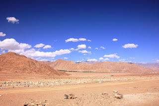
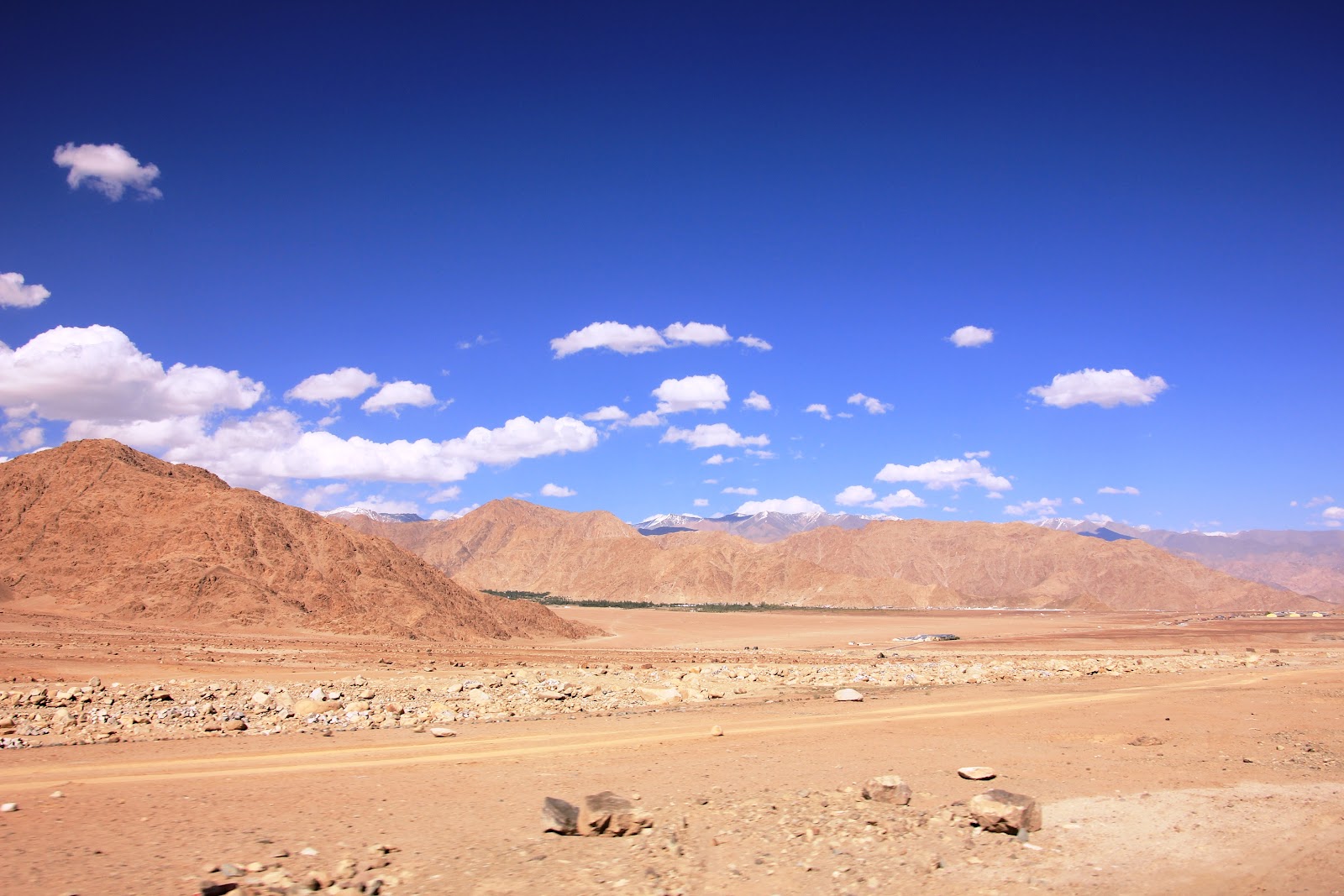
Even on the not-so-great stretches of the road, the landscape was stunning. The photos I've added to this post don't do justice to the panorama that was before us. Maybe a better lens and better technique would help.
For those who're curious, the lens is a Tamron 18mm-270mm walkabout. So no changing lenses on the move, but no great optics either.
If we had started back from further up the road beyond Tingmosgang, we would have passed through Gata Loops or the 'jalebi bends', a serpentine stretch of about 20 hairpin bends on NH-1D from Fotu-la to the monastery town of Khalste. Next time maybe.
Click to enlarge the images. I've resized them to 60% of their original.


National Highway (NH) 21 connects Leh with Manali in Himachal Pradesh. This route takes the traveller through the passes of Rohtang, Baralacha-la and Tanglang-la ('la' = pass). The distance of 480 kms takes anywhere between 12 to 18 hours to cover, depending on the weather and the road condition. The route is supposedly very scenic and worth the drive. We briefly skimmed this route on the way out of Leh to Lake Tso-Moriri, deviating from it well before the scenery began.
The other highway into Leh leads from Srinagar after crossing the passes of Fotu-la and Zoji-la. This is NH 1D, something like a branch line of NH 1 that links New Delhi to the border town of Attari in Punjab. If you want to show off, you must call it a 'spur' of NH-1.
We saw more of NH-1D than NH-21. First, we got to travel quite some distance on this highway to reach the important village of Temisgam (or Tingmosgang). After joining our friends in Tingmosgang, we drove back on the same road, this time all the way to Leh.
Many parts of NH-1D were still work in progress. Only one short stretch was a bitumen carpet. As a bonus, this excellent stretch passed right beside the Indus as that great river took a turn round the mountainside. Those few minutes were so exhilarating that our Innova hummed a few Ladakhi folk tunes.
Even on the not-so-great stretches of the road, the landscape was stunning. The photos I've added to this post don't do justice to the panorama that was before us. Maybe a better lens and better technique would help.
For those who're curious, the lens is a Tamron 18mm-270mm walkabout. So no changing lenses on the move, but no great optics either.
If we had started back from further up the road beyond Tingmosgang, we would have passed through Gata Loops or the 'jalebi bends', a serpentine stretch of about 20 hairpin bends on NH-1D from Fotu-la to the monastery town of Khalste. Next time maybe.
Click to enlarge the images. I've resized them to 60% of their original.
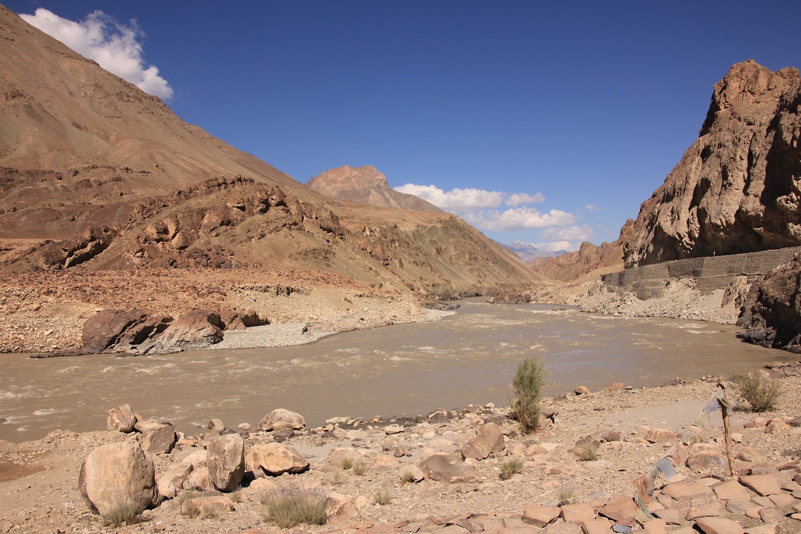
(A bend in the river - Indus on NH1D)

(The Zanskar River)

(Somewhere on NH1D between Saspol and Basgo)
(On the outskirts of Leh)

